McCabe Trail
Location: Babine Mountains Provincial Park (30 minutes from Smithers)
Race route: There and back
Elevation gain: 750 m.
Distance: 20 km.
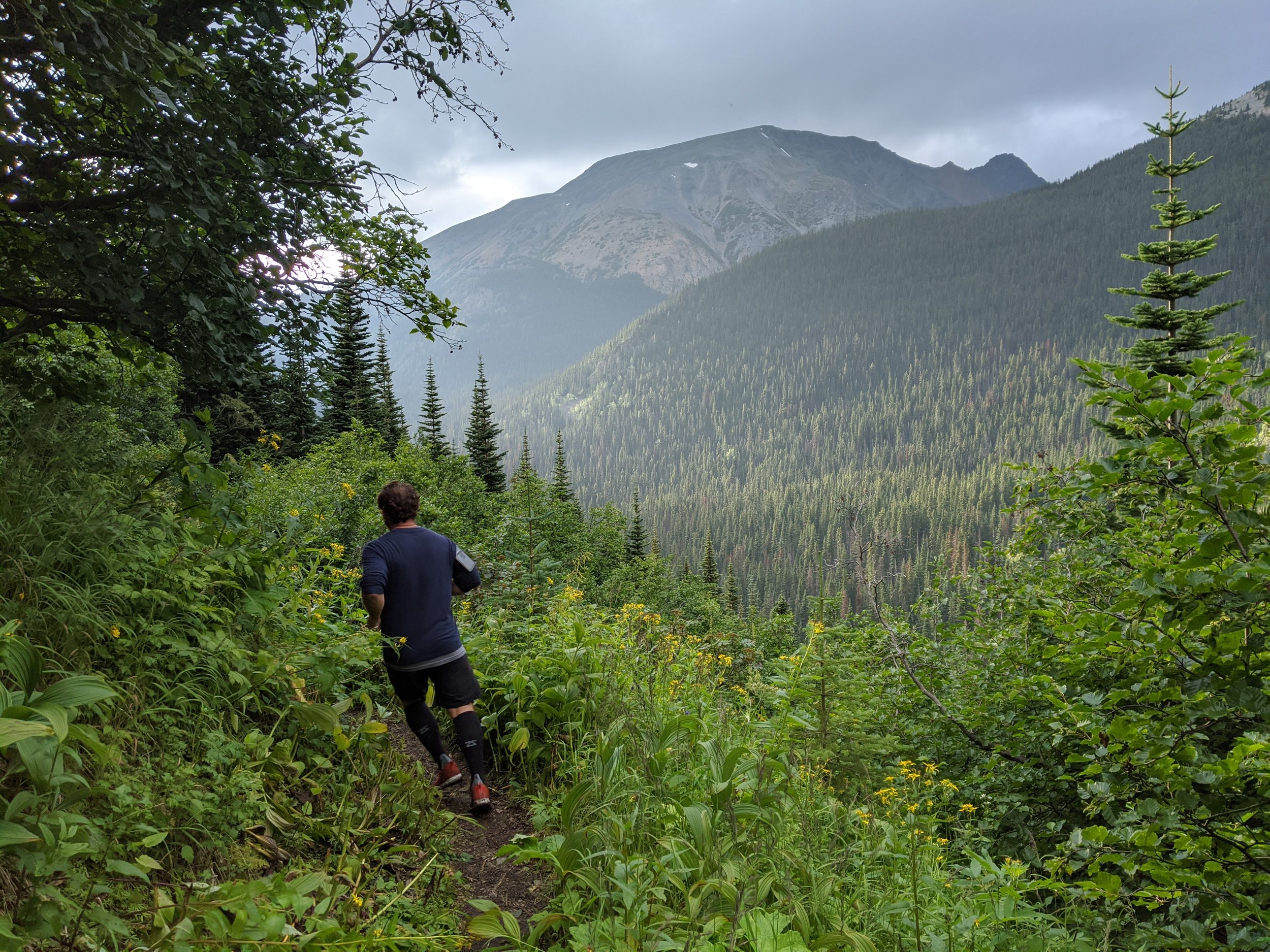
The McCabe trail offers relatively easy access to the alpine. The trail departs the Driftwood Creek Road immediately before Sunny Point, 1.4 km from the parking area. After ascending a steep mining road for 500 m, the route narrows to an excellent trail on an easy grade.
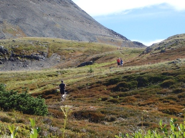
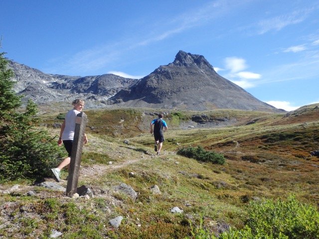
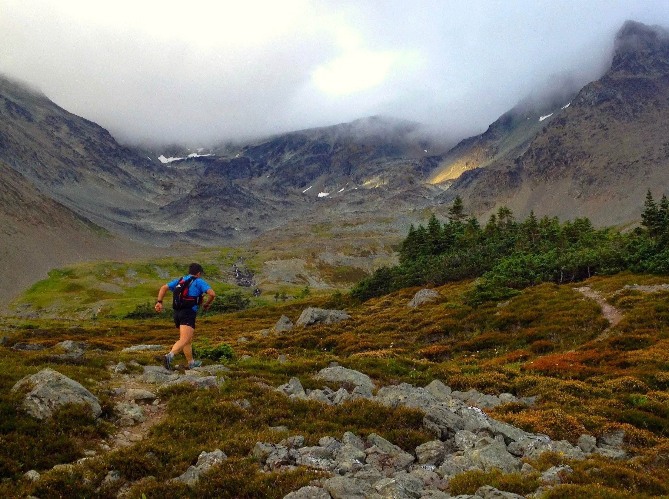
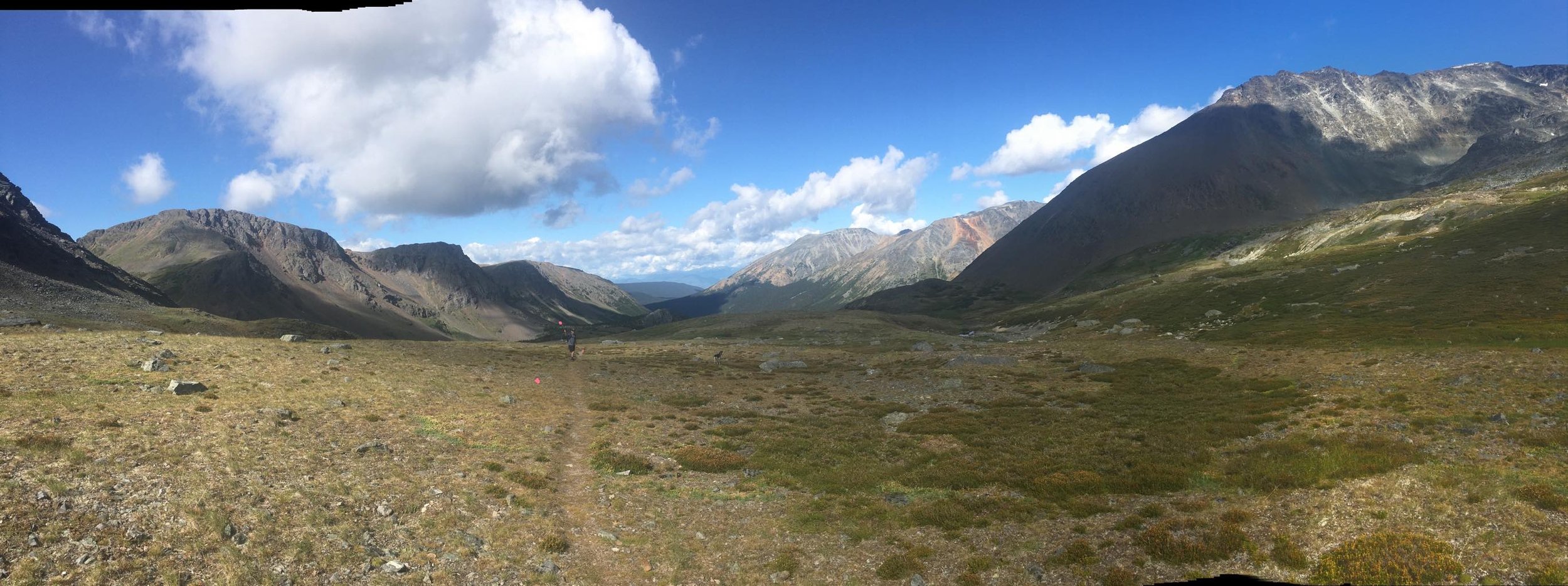
At the 3 km mark, the trail winds through a series of rockslides, which are densely covered by slide alder and cow parsnip. Hikers should use caution for the next kilometre as the vegetation obscures the trail and footing can be slippery. The trail travels along the north slopes of Harvey and Pyramid mountains and passes two small lakes (Copper Lakes) at 6.5 km. After 6 km you are in lovely meadows full of flowers and great views up the valleys. It continues upward and eastward until reaching "Summit pass". At this point, you will be directed to turn and follow the same path back to the start.
McCabe trail is one of the more popular in the park and well established. The chances of getting “waylaid” is extremely unlikely.
Course Info
McCabe Trail ascent from the upper parking lot to the summit. (View the segment on Strava.)
McCabe Trail (bold green line) showing the access road and water station.
Fly-through of the race route. Once reaching the summit, the race follows the same route back down.
Course Photos
The photos below showcase the trail's sequential progression. It begins with a 1.5 km gradual incline along Driftwood Creek before branching off onto the McCabe Trail. The trail continues for 5.8 km as a single-track, ascending to the tree line. From there, you'll enjoy stunning views of the Babine Range on your way to the McCabe Trail summit, which overlooks Little Joe Lakes. Once at the summit, you'll retrace your steps back down the same trail.